Mapping
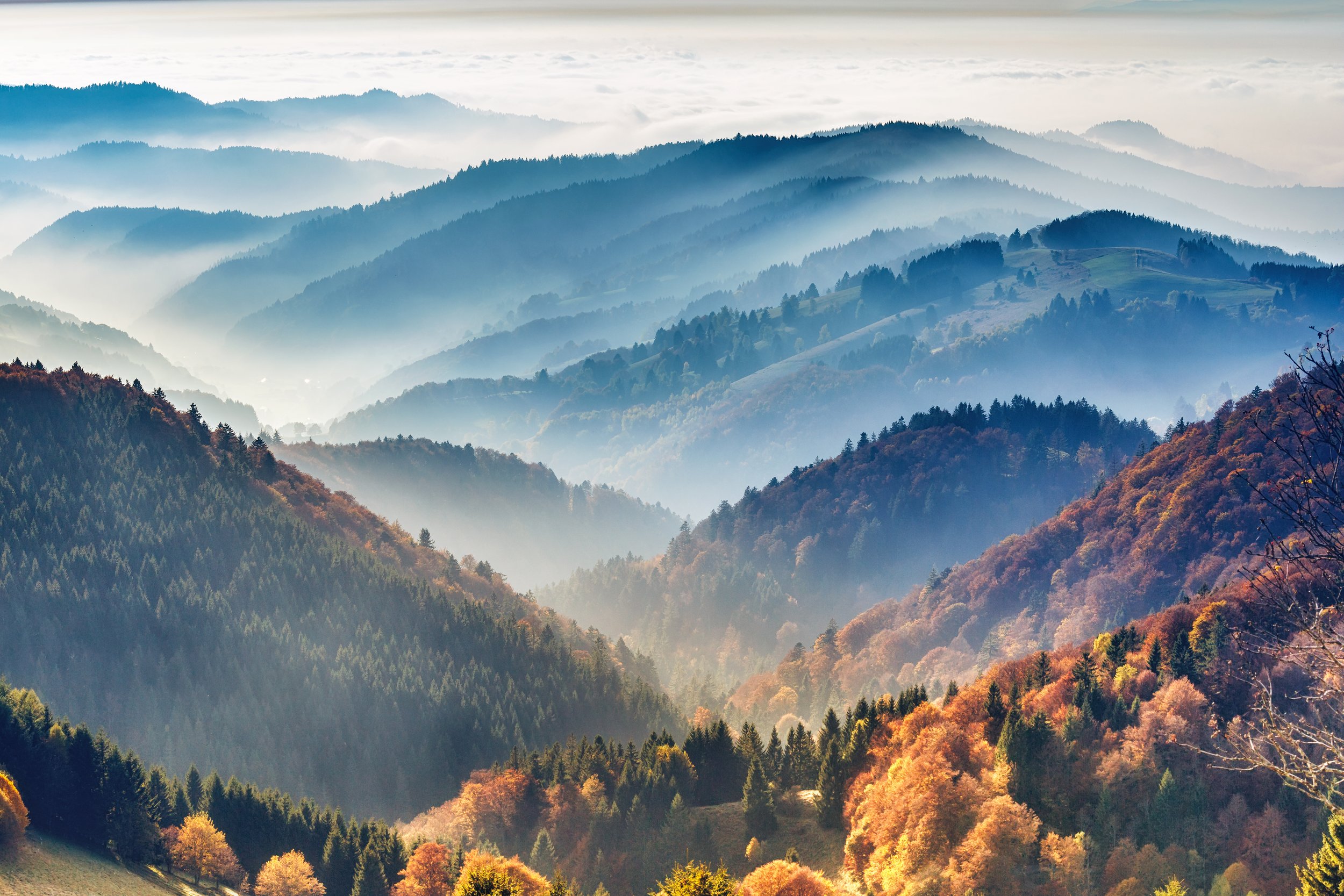
Mapping the management history and the current state of Europe’s forests
By comparing primary forests, those largely unaffected by modern forestry, with managed forests, CLIMB-FOREST aims to better understand the impact different forest management methods have on forests across Europe.
CLIMB-FOREST is first comparing carbon storage and productivity in primary forests and manged forests. The CLIMB-FOREST team will use existing aerial photography and historical maps to identify primary forests and nearby forests with similar characteristics but under different management methods. The team will then compare carbon storage, tree diversity, the number of trees and other factors across the two paired sites to map how different management methods have changed the forest composition over time.
This paired analysis will allow us to better understand how different events, such as dry spells, impact primary and managed forests differently. We will also use the data we collect to produce an EU-wide map containing historical and current data on forest age and management.
Partners involved
-

Lund University
-

CzechGlobe
-

Universidad de Alcalá
-
Luonnonvarakeskus
Discover more
-

Data
Using data from long-term monitoring sites and satellite observations to assess and quantify climate effects occurring in forests across Europe.
-

Products
Working to better understand how wood products and forest management practices can contribute to a sustainable bioeconomy.
-

Management
Working closely with forest owners, forest policy makers and other key stakeholder to identify the most optimal forest management options for the coming decades.
-

Modelling
Bringing together advanced modelling capacity and state-of-the-art scenarios to explore how forests will change in the future.
Contact us
Drop us a message if you have any questions about CLIMB-FOREST mapping work or if you would like to connect with the mapping team.
Follow us on social media for regular project updates.